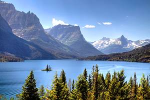
Hiking Trails near Missoula, MT
Author Brad Lane lived in Missoula for nearly three years and has hiked countless trails in the area.
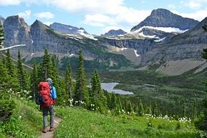
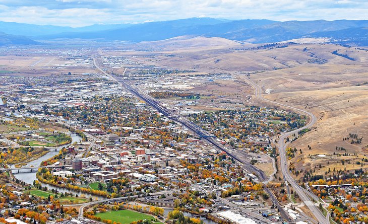
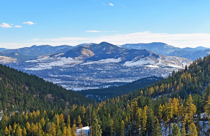
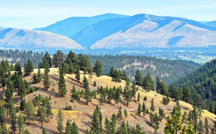
Missoula is a university city in Western Montana that is big on hiking. And of the many things to do in Missoula, trekking on a trail qualifies as a must-do experience. From challenging summit trails to more casual routes along the Clark Fork River, hiking is a defining part of the Missoula lifestyle.
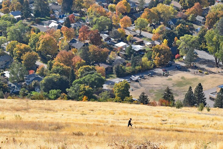
Several hikes in Missoula are accessible from the city without driving a car. Routes like the "M" Trail on Mount Sentinel or the North Hills offer easy after-work enjoyment and excellent places to catch the sunset. These in-town spots provide miles of recreation without leaving city limits.
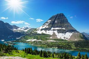
But what makes Missoula a quintessential hiking city is Lolo National Forest surrounding the city's edges. The forest manages three National Recreation Areas on the edges of the town, including the Rattlesnake National Recreation Area. Extensive trail networks lace each of these outdoor playgrounds, all within a 20-minute drive from downtown.
Find some inspiration for your next Montana hiking adventure with our list of the best hiking trails in Missoula.
Mount Sentinel "M" Hike
Mount Sentinel is perhaps the most recognizable landmark in Missoula. A giant concrete "M" adorns this approximately 5,158-foot peak on its west slope, symbolizing the University of Montana at its base. But the big, white "M" has also come to symbolize the city, and hiking up to this emblazoned letter is a quintessential Missoula experience.
The route to the "M" begins on the U of M campus, near Washington-Grizzly Stadium. The route is only 0.75 miles long, but the short distance doesn't add up to an easy hike. The trail zigzags up the exposed face, traversing 11 switchbacks and gaining approximately 620 feet. Even for local athletes who choose to run this length, it's a challenge for the legs.
The view from the "M" rewards the effort nicely. The entire Missoula Valley comes into focus, including other prominent peaks in the area like Lolo Peak, Mount Jumbo, and Ch-Paa-Qn. Sunsets from this elevated vantage point also tend to leave a lasting impression.
And the hike doesn't have to stop at the "M." If stiff leg muscles allow, the trail continues up the mountain until reaching the summit. It's another mile and approximately 1,300 feet beyond the "M" to reach the summit, making for a worthy challenge and even better views.
Mount Sentinel has several other hiking trails worth checking out. Farther south on the western face, trails like the Mo Z Trail and Pengelly Ridge Trail offer alternatives to reaching the summit. Similarly, Hellgate Canyon Trail, accessible from the Kim Williams Trail on the northern flank, also provides a challenging route to the top.
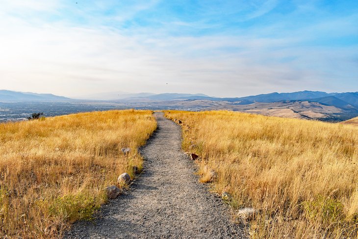
North Hills/Waterworks Trail
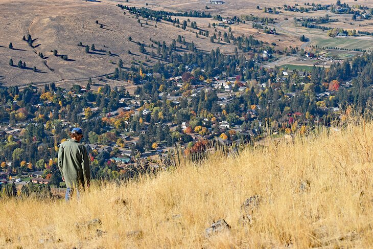
The North Hills Trail, also known as Waterworks, is an excellent spot for a quick hike any time of day. This elevated terrain backdrops the northern side of the city and is recognizable by the giant peace sign made out of rocks on its mountain slope. Hiking the North Hills offers an easier uphill challenge than climbing Mount Sentinel or Mount Jumbo but still affords an excellent view of the city and surrounding Missoula Valley.
A few different trailheads lend access to the North Hills. The two most popular include one on Greenough Drive near Greenough Park. The other is just north of Interstate-90 and the Orange Street exit. Up the hillside is the only way to go from either trailhead, with both routes connecting to the Ridge Trail that spans the top.
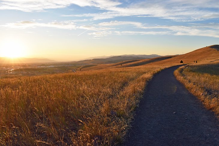
Elevation gains vary depending on the trailhead and direction of travel. But, generally, the trek is an excellent introduction to hiking in the area. It's a particularly stunning spot come sunset, with beautiful views of the Bitterroot Mountains to the south and the Rattlesnake Mountains to the west. This high vantage point is also a spot to watch airplanes coming in for a landing at Missoula International Airport.
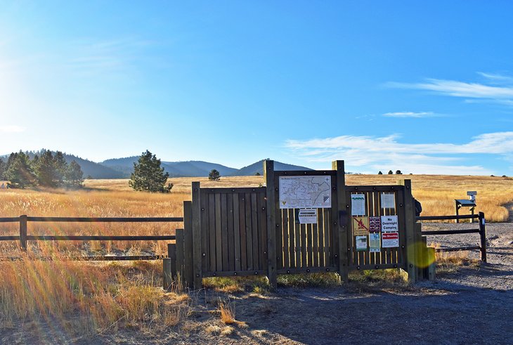
Rattlesnake Corridor Trail
Of all three National Recreation Areas bordering Missoula, the Rattlesnake is most synonymous with the city. And it's a must-visit for weekend trips or extended stays. This densely forested area is less than a five-mile drive from downtown and features over 70 miles of hiking trails.
The Rattlesnake's central hiking highway is the flat and wide path known as the Rattlesnake Corridor Trail (or Main Corridor Trail.) This retired logging road stretches for over 15 miles, loosely following the contours of Rattlesnake Creek. It's a very popular and almost universally accessible route for all types of hikers. It also serves as a common connector for several other trails in the area.
The Corridor Trail is relatively flat until about nine miles in, where the terrain becomes hillier. Most visitors travel two or three miles on the trail before turning back. Several singletrack routes parallel the route closer to the creek, offering easy side treks much of the way. Expect to see other people enjoying the trail, including heavy bicycle use.
Just a few of the recommended hikes extending from the Corridor Trail include Spring Gulch and Curry Gulch. These two hiking areas lend access to the challenging route up to Stuart Peak, one of the tallest mountains in the region at 7,791 feet.
The Corridor Trail extends into the Rattlesnake Wilderness, which borders the recreation area to the north. This designated wilderness area encompasses over 30,000 acres and beckons for bigger backpacking adventures and challenging day trips.
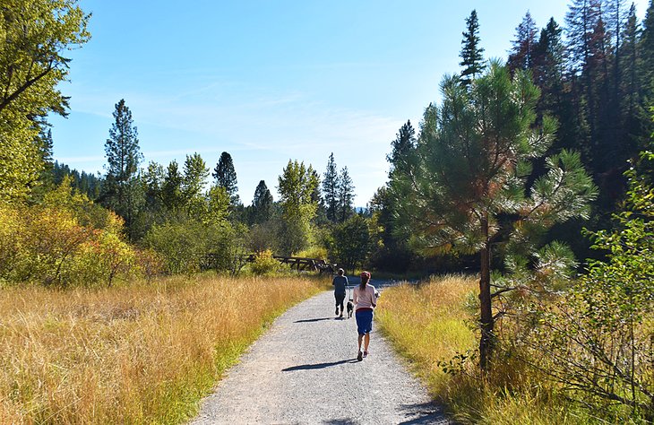
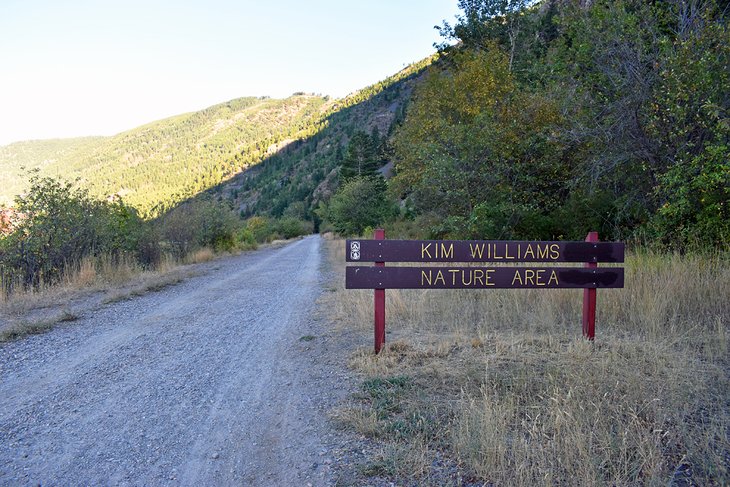
Kim Williams Trail
The Kim Williams Trail provides the most accessible escape from the city. This flat and wide trail follows the Clark Fork River and is the eastern extension of the paved Clark Fork River Trail that navigates through town. Both trails are a product of a rail-to-trail conversion of the old Milwaukee Railroad line.
The trail is named after a notable Missoula conservationist and extends for 2.5 miles along the river. The Clark Fork and the slopes of Mount Sentinel sandwich the route the entire way. Birds are frequent visitors along this river corridor, offering abundant spotting opportunities. And the flat path is also popular with mountain bikers and trail runners.
Several side treks along the Kim Williams offer further adventure. Unsigned and unofficial single-track parallels much of the route next to the riverbank. And the challenging Hellgate Canyon Trail, leading up to Mount Sentinel's summit, is also accessible less than a mile down the Kim from town.
Sam Braxton National Recreation Trail, Pattee Canyon National Recreation Area
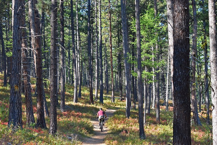
Pattee Canyon is another National Recreation Area within a few minutes' drive from downtown, located on the east side of Missoula. This designated outdoor playground encompasses 3,200 acres of old-growth larch and ponderosa pine landscape. Over 27 miles of trails wind throughout the area, including the 3.5-mile Sam Braxton National Recreation Trail.
Named after an iconic Missoula adventure athlete, the Sam Braxton Trail is a scenic loop with easy-to-moderate terrain. It's a popular hike for families, trail runners, dog walkers, and anyone looking to escape into the forest. The total elevation gain along the route is less than 500 feet.
Several other paths cross the Sam Braxton Trail along the way. Hikers should keep an eye out for prominent gray "9.0" tree blazes to stay on track. Downloading digital maps or bringing paper maps can also assist in navigating. And there's much more to explore in Pattee Canyon, including the Crazy Canyon Trail and Meadow Loop Trail on the other side of Pattee Canyon Road.
"L" Trail, Mount Jumbo
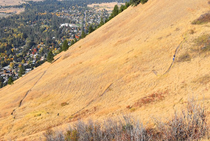
Mount Jumbo is across the Clark Fork River from Mount Sentinel and is another signature mountain of the city. The large letter "L" on its face represents Loyola Sacred Heart Catholic High School. Hiking to this concrete letter offers a similar and slightly easier trek than the "M" Trail on Mount Sentinel. And like Sentinel, Jumbo also has a network of routes lacing the elevated landscape.
For those looking to check the "L" off the Missoula must-do hiking list, two trailheads are near one another on the north side of Interstate-90. Both the Cherry Street and Elm Street trailheads offer routes to the "L" with approximately 0.65-mile routes and 500 feet of elevation gain. While more manageable than the "M" hike, the switchbacking pathways still induce leg muscle strain.
After making it to the "L," the route continues up the mountain to reach the Jumbo Backbone Trail. Users often follow this trail up and head down the South Face Trail back to the trailhead for an approximately 2.5-mile loop. Alternatively, the Backbone Trail leads into the North Zone of Mount Jumbo, where other paths offer auxiliary routes.
Both the North Zone and South Zone have seasonal closures to help the elk herds that inhabit the lower mountain landscape in the winter. The South Zone is typically closed between December 1st and March 15th, while the North Zone remains closed until May 1st. However, the "L" trail remains open throughout the year, with users asked to stick to the route.
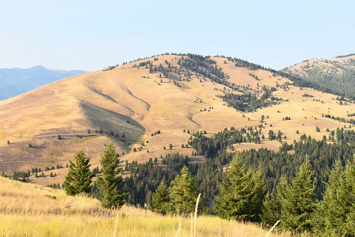
Blue Mountain National Recreation Trail
Blue Mountain National Recreation Area offers 4,900 acres of multiple-use terrain with over 40 miles of hiking trails on the southern edge of Missoula. Other popular activities at Blue Mountain include mountain biking, horse riding, and disc golfing.
One of the recreation area's crown jewels is the Blue Mountain National Recreation Trail (Trail #3.01). This one-way, approximately eight-mile route climbs over 3,000 feet to reach the summit of Blue Mountain. It's a winding, uphill route that makes for a long day as an out-and-back journey. But, the blossoming views of the Missoula Valley make the trek well worth the effort.
Trail #3.01 begins at one of the main parking areas off Blue Mountain Road, accessible with a less-than-a-mile drive off Highway 93. This large parking area is a staging point for several other routes in the sprawling trail network. Other trails like the four-mile Vista Point Loop offer easier alternatives for a day hike.
For one of Missoula's best family hikes, the nearby Maclay Flat Nature Trail offers a flat interpretive path along the Bitterroot River. This kid-friendly hike starts at a separate parking area, 1.3 miles down the road from the main trailhead.
Barmeyer Trail
The Barmeyer Trail marks the beginning of a planned trail network on Mount Dean Stone on Missoula's southside. The most common route to reach the Barmeyer Scenic Viewpoint starts from the Barmeyer Trailhead on Pattee Canyon Road. It's approximately a 1.5-mile trail from this small parking area to the viewpoint, with 900 feet of elevation gain.
The route offers a forested trek on a wide trail to start and then switchbacks up steep terrain with blossoming landscape views much of the way. It's a short spur trail to the official viewpoint, which features expansive overlooks of the city and the south face of Mount Sentinel.
The trail forks about halfway up the mountain, offering a loop option for a total three-mile hike. Counter and clockwise are both enjoyable ways to travel. The trail is a product of conservation efforts by the local Five Valleys Land Trust, which has several other hiking trails planned for the area.
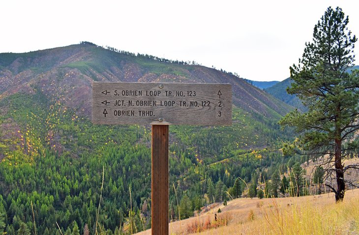
O'Brien Creek Loop
On the city's south side, near Blue Mountain National Recreation Area, O'Brien Creek offers a quieter trail to explore close to town. Users reach the trailhead by traveling approximately four miles on O'Brien Creek Road, accessible from Blue Mountain Road. Parking is limited at the trailhead, but finding a spot usually isn't an issue for this less popular hike.
Two trails extend from the trailhead, North and South O'Brien Creek Trails, which open the option for an approximately six-mile loop. Alternatively, O'Brien Creek Road also extends past the trailhead as a dirt road that hikers can follow for a flat path.
Hikers encounter elevation on both the North and South O'Brien Creek Trails, with steady but not incredibly steep climbs. Due to the trails' layout, several different routes are possible to customize the difficulty and distance preferred. Both trails are popular within the local trail-running community.
On the North and South trails, excellent views of the Missoula Valley open to the east, including views of Mount Sentinel and Mount Jumbo. If hiking on O'Brien Creek Road, be aware that the route passes through small portions of private property. It's essential to stay on the maintained trail while passing through.
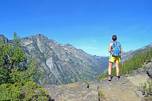
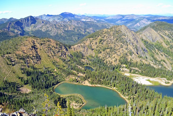
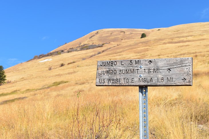
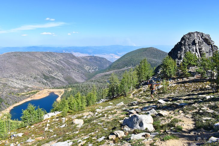
Ch-Paa-Qn
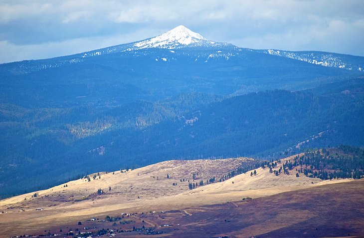
Ch-Paa-Qn is the tallest mountain in the Ninemile Ranger District of Lolo National Forest, west of Missoula. Pronounced "cha-pock-qwin," and formally known as Squaw Peak, its prominent pyramid shape is a common sight on the city's western horizon. And it's a challenging hike and rock scramble to reach the summit of this iconic mountain.
A few routes reach the top of Ch-Paa-Qn. The most common approach is via the Reservation Divide Trail, accessible from Edith Peak Road. It's approximately an hour's drive to reach the trailhead from Missoula, with the last 10 miles navigating up the rocky and bumpy Edith Peak Road. The route to the trailhead is accessible for low-clearance vehicles but expect a slow drive.
It's just over three miles to reach the base of Ch-Paa-Qn, where the rest of the route is an uphill rock scramble. The entire trail ascends approximately 1,700 feet for a steady uphill hike, with the most generous climb in the last 0.3 miles. Throughout the beginning of the route, the trail navigates shoulder-high shrubbery and a dense forest.
The 360-degree view from the summit is well worth the rock scramble to the top. Missoula is visible 25 miles to the southeast. Visitors with good eyes or binoculars can make out the "M" and "L" on the local mountains. Looking in the other direction, the Mission Mountains and Flathead Reservation are in view on clear days.
Morrell Falls National Recreation Trail
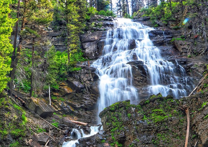
The increasingly popular hike to Morrell Falls within Lolo National Forest is a 1.5-hour drive from Missoula. The route to reach the trailhead diverts from the highway near Seeley Lake, offering a scenic landscape to enjoy after the hike.
Part of the popularity of Morrell Falls comes from its family-friendly approach. The trail spans approximately 2.7 miles with minimal elevation gain. And as a popular path, navigating the worn-in route is very easy. The most challenging aspect is often the slippery conditions, especially near the waterfall.
And it's Morrell Falls, itself, that makes the route a common Missoula day trip. This 90-foot double waterfall makes quite the impression throughout the year, with the biggest rush occurring in the spring months.
For a similarly outstanding hike, north along Highway 83 from Seeley Lake, Holland Lake and Holland Falls National Recreation Trail offer similar landscapes to enjoy. Holland Falls is a shorter but steeper route, spanning 1.6 miles and 750 feet. Not-so-distant views of the Swan Mountains reward hikers on this equally impressive waterfall hike, 90 minutes from Missoula.
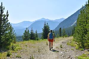
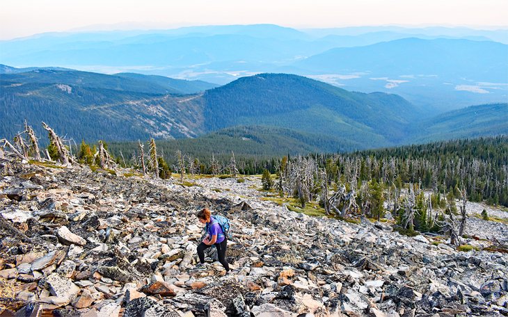
Lolo Peak
The challenging hike to the top of Lolo Peak is a quintessential hike to check off the Missoula bucket list. It's the northernmost Bitterroot Mountain above 9,000 feet and is visible on the southern Missoula horizon from certain parts of the city. Snow often caps the summit throughout the year.
The trailhead for the summit hike is off Mormon Peak Road, accessible from Highway 12 out of the small town of Lolo. It's approximately a two-hour drive from Missoula. Upon reaching the trailhead, it's roughly a 6.5-mile trek to the summit. Hikers should plan for an all-day adventure when attempting the hike.
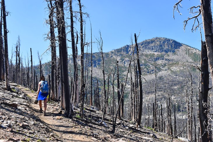
It's nothing but uphill from the trailhead, with the first four miles traversing through a burn area resulting from a 2017 forest fire. Because of this damage, the first four miles are heavily exposed to the sun.
The cumulative route climbs over 3,000 feet, including a challenging scramble to the actual summit. The trail peters out near the top, and some route finding is required. Make it to the summit, though, and you'll have some bragging rights to bring back to Missoula.
Map of Hiking Trails near Missoula, MT
Best Time to Go Hiking in Missoula
Hiking is done throughout the year in Missoula with the proper gear and attire. But the best time to visit Missoula for hiking is in the summer when the days are long and the weather is warm (and sometimes hot). The best hiking weather in Missoula stretches well into the shoulder seasons, with spring and fall offering great adventures.
The only drawback to summer hiking is potentially stifling hot conditions closer to town. Plan for hikes at higher elevations this time of year or through shaded river routes like the Rattlesnake Corridor. Bugs and insects may also make an appearance in the summer, as well as a notable increase in visitors to the area.
The spring season, beginning in March, comes with variable weather. Bring a rainjacket and mud boots for the worst-case scenario and sunscreen for the best forecasts. Fall creeps into the Missoula Valley in September and fades to winter by the end of October. This short window offers a quick preview of a colorful landscape worth planning a trip for.