
America's First Coast-To-Coast Hiking Trail Offers A Scenic 6,800-Mile-Long Journey
This cross-country hiking trail takes travelers through 15 states and over 300 communities, passing historical sites and national parks along the way.
Read More
This cross-country hiking trail takes travelers through 15 states and over 300 communities, passing historical sites and national parks along the way.
Read More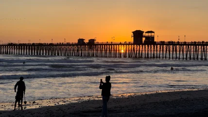
Not far from LA and San Diego is a weekend escape complete with multiple beaches, an eclectic assortment of restaurants, and unique local shops.
Read More
ATV and UTV enthusiasts, along with hikers and campers, can enjoy a day (or night) at this national forest covering a whopping 5,000 square miles.
Read More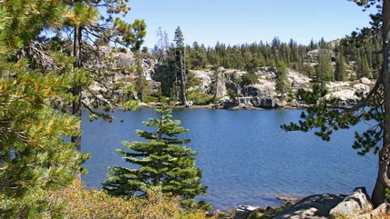
If you don't mind a challenging hike, plan a trip to this collection of lakes in California, where you can swim, camp, and take in the natural scenery.
Read More
Follow in the footsteps of a 19th-century explorer while spotting flora and fauna on the 22-mile off-roading trail in this western national park.
Read More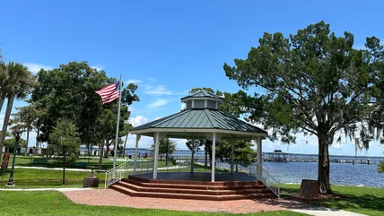
Though Florida is best known for its beaches, this Sunshine State city boasts a warm, mineral-rich spring, and visitors can swim in its waters.
Read More
In one unique Midwest city, you'll soon find a record-breaking water roller coaster with a 75-foot drop and speeds of 45 mph across its 1,000-foot track.
Read More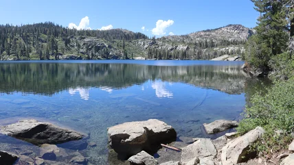
While the Sierra Nevada Mountains are hardly a hidden gem, this area known as the "Lost Sierra" offers a quiet getaway with serene campsites and stunning views.
Read More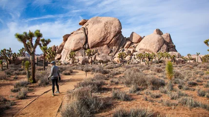
Spot wildlife, hike trails lined with colorful flowers, and camp under pitch-black skies ideal for stargazing in this desert escape in California.
Read More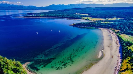
Get a taste of the tropics on this Canadian island, bursting with stunning views, beaches for swimming, hiking trails, and local food and art.
Read More
This unique trail in California offers off-roading enthusiasts over 20 miles of challenging terrain, nature, and breathtaking scenery from its high elevation.
Read More
With four beaches, scenic hiking trails, delicious seafood, and even a famous Taco Bell location, this Northern California city is ideal for a coastal getaway.
Read More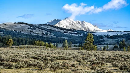
With more than 1,100 miles of trails, including some winter paths, this national park has the most miles of hiking routes of any national park in the country.
Read More
Considered one of Amtrak's most scenic routes, this California train ride stretches for 351 miles and includes stops in several popular coastal cities.
Read More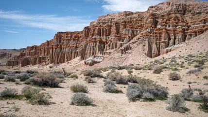
Camp, hike, spot colorful wildflowers, and take in the stunning, starry night skies at this uncrowded canyon park in south-central California.
Read More
Everything is bigger in Texas, including this record-breaking giga dive roller coaster, with a 309-foot climb, a beyond-vertical drop, and speeds of 87 mph.
Read More
This California city, with its upscale hotels and wellness culture, helped put surfing on the map, thanks to visiting pro wave riders and a surf rock singer.
Read More
In 2026, two U.S. airports made the list of the world's most beautiful air hubs for their innovative architectural design, efficiency, and visitor experience.
Read More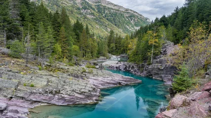
If you ever dreamed of living inside a national park, like one couple in Montana's Glacier National Park, there's a loophole that might make it possible.
Read More
This abandoned and once-flooded amusement park in New Orleans is set to rise again as a water park and entertainment hub thanks to a massive redevelopment.
Read More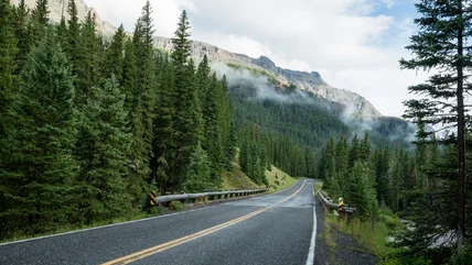
When driving to Yellowstone National Park, consider taking this seasonal route through mountains and national forests to see wildlife and stunning scenery.
Read More
The sparkling blue and red waters produced by bioluminescence can be spotted along California's coast, especially at these five specific beaches.
Read More
When you think of Illinois, water activities aren't typically the first thing you think of. But the largest water park in the state might change your view!
Read More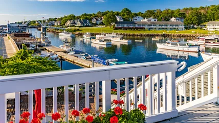
Maine is an ideal summer vacation destination. Skip planning and follow this detailed weekend itinerary written by a true local expert for Ogunquit and York.
Read More
In one California coastal city, a common beach day activity is now against the rules and could cost you $1,000 if you fail to follow the new guidelines.
Read More
Less than two hours north of NYC is a cozy, riverside village with a charming main street, preserved architecture and historical sites, and nature escapes.
Read More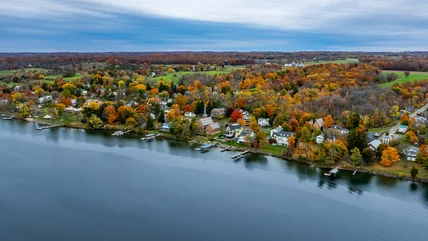
With a population of just a few hundred residents, this small town in New York's Finger Lakes region boasts a calm atmosphere ideal for a relaxing trip.
Read More