Israel Travel Guide
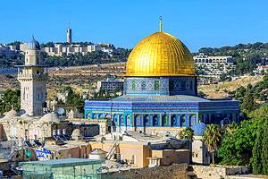
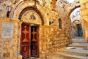
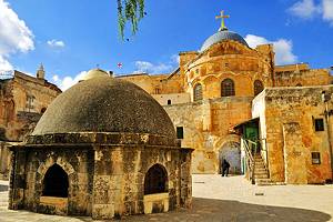
The Middle Eastern state of Israel lies in an area which is holy ground for the three great monotheistic religions - Judaism, Christianity and Islam. Judaism and Christianity originated here, and Jerusalem is Islam's most important shrine after Mecca and Medina. The Holy Land is thus of supreme significance to the adherents of these three religions.
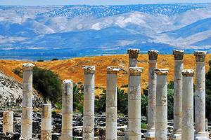
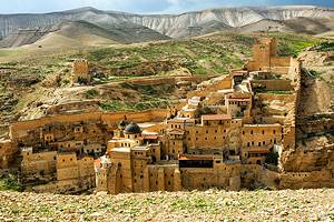
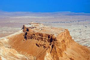
Although Israel was never a great power and for many centuries had no independent existence as a state, it lies at a focal point of Middle Eastern history and is richly stocked with remains of a long and eventful past reaching far back into prehistory - to the 8th millennium b.c., when Jericho was one of the world's earliest urban settlements, and even farther back to the remote times when Palaeolithic man began laboriously developing his primitive culture.
Read More
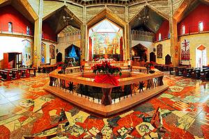
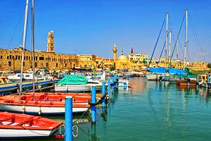
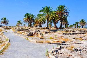
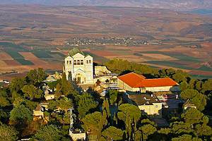
In this relatively small area a whole succession of peoples have left evidence of their existence - the people of Jericho, the Canaanites, the Israelites of the Old Testament, Greeks, Romans, Byzantines, Arabs, European crusaders, Mamelukes, Turks and finally the Christians from Europe and Russia who in more recent centuries have built their churches and religious houses in many places in this country.
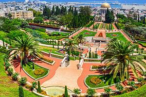
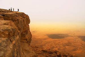
Whether a tourist comes to Israel as a pilgrim, as an art-lover or as one interested in history or in the problems of our own day, he will find much to fascinate him.