
California's Colorful Canyon State Park Is Beloved By Locals And Tourists Alike
Camp, hike, spot colorful wildflowers, and take in the stunning, starry night skies at this uncrowded canyon park in south-central California.
Read More
Camp, hike, spot colorful wildflowers, and take in the stunning, starry night skies at this uncrowded canyon park in south-central California.
Read More
Everything is bigger in Texas, including this record-breaking giga dive roller coaster, with a 309-foot climb, a beyond-vertical drop, and speeds of 87 mph.
Read More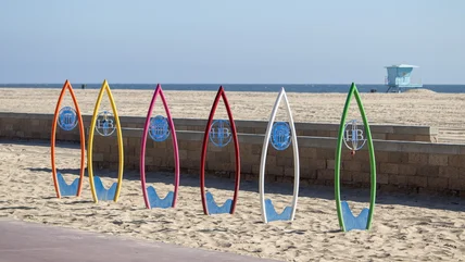
This California city, with its upscale hotels and wellness culture, helped put surfing on the map, thanks to visiting pro wave riders and a surf rock singer.
Read More
In 2026, two U.S. airports made the list of the world's most beautiful air hubs for their innovative architectural design, efficiency, and visitor experience.
Read More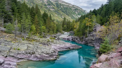
If you ever dreamed of living inside a national park, like one couple in Montana's Glacier National Park, there's a loophole that might make it possible.
Read More
This abandoned and once-flooded amusement park in New Orleans is set to rise again as a water park and entertainment hub thanks to a massive redevelopment.
Read More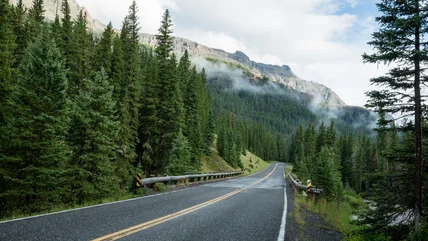
When driving to Yellowstone National Park, consider taking this seasonal route through mountains and national forests to see wildlife and stunning scenery.
Read More
The sparkling blue and red waters produced by bioluminescence can be spotted along California's coast, especially at these five specific beaches.
Read More
When you think of Illinois, water activities aren't typically the first thing you think of. But the largest water park in the state might change your view!
Read More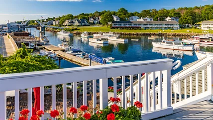
Maine is an ideal summer vacation destination. Skip planning and follow this detailed weekend itinerary written by a true local expert for Ogunquit and York.
Read More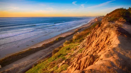
In one California coastal city, a common beach day activity is now against the rules and could cost you $1,000 if you fail to follow the new guidelines.
Read More
Less than two hours north of NYC is a cozy, riverside village with a charming main street, preserved architecture and historical sites, and nature escapes.
Read More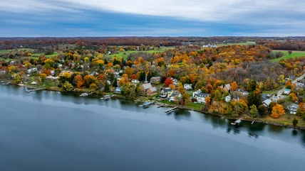
With a population of just a few hundred residents, this small town in New York's Finger Lakes region boasts a calm atmosphere ideal for a relaxing trip.
Read More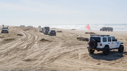
This coastal park offers the only California beach where vehicles can legally be driven on the sand, along with primitive camping and wildlife sightings.
Read More
You don't need to fly to Paris to experience romance. From New York to California, these romantic U.S. cities are a perfect escape for couples.
Read More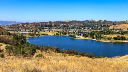
For a kid-friendly summer escape, take a day trip outside of Los Angeles to this swimming reservoir, outfitted with floating obstacles at its splash park.
Read More
After nearly 100 years in operation, this LA-area airport is receiving massive upgrades, including a new terminal to replace its old concourses.
Read More
One liquid food item has impressed World Cup visitors to the U.S., but now, TSA is responding to its popularity with some important rules and reminders.
Read More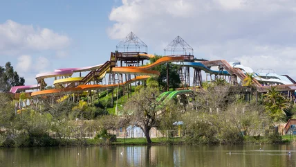
After decades in the Bay Area and a rebranding, this California water park has shut down indefinitely, though something new is expected to pop up in its place.
Read More
This U.S. summer destination boasts 130 miles of coastline and plenty of distinct towns and villages, with museums, bioluminescent beaches, and free activities.
Read More
California's governor has proposed three new state parks in the Central Valley region, offering riverside trails, Dust Bowl history, and wildlife habitats.
Read More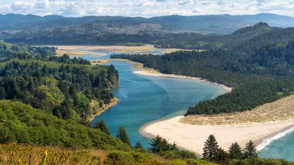
Explore wild protected land and marine reserves in this outdoor destination in Oregon, filled with stunning coastal views, wildlife, and even a diving spot.
Read More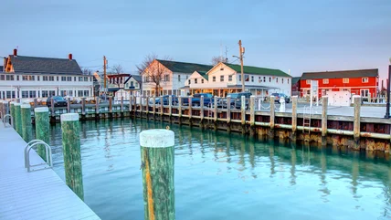
Not far from the Hamptons lies another, less-crowded coastal destination ideal for quiet escapes with charming seaside towns and local beaches.
Read More
After delays, one California roller coaster will reopen with a refurbished track, a fresh theme, an updated name, and a new and exciting launch pattern.
Read More
Though not on the typical tourist trail in Los Angeles, this local neighborhood boasts worthwhile attractions and restaurants, especially along its new harbor.
Read More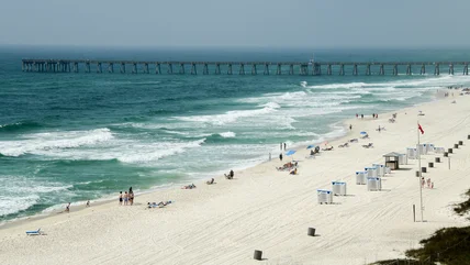
Breaking one serious swimming rule in this popular Florida beach city could cost you between $500 and $1,000, and it may even put you in danger.
Read More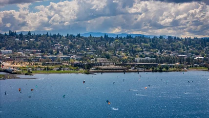
Between a mountain and a river in Oregon, you'll find the "windsurfing capital of the world" and one of the "most underrated travel destinations in the U.S."
Read More