Norway Travel Guide
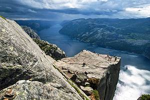
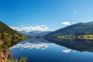
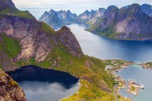
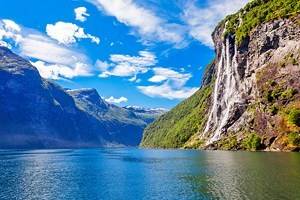
A jewel of Northern Europe, Norway offers a mix of culture and natural wonder. From the cosmopolitan capital city of Oslo to the snow-capped mountain peaks, there are a variety of choices for travelers. It is the land of the midnight sun, with a latitude that allows for endless days during a portion of the summer. At other times of the year the dark skies reveal the mystical northern lights. The fjords, coastal inlets, and glaciers create a dramatic landscape that completes the travel experience.
Read More
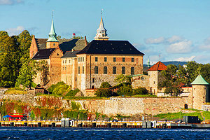
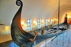
Situated on Oslofjord, Oslo is a port city surrounded by islands and woodlands. Its location makes it a popular place for sports and outdoor fun. In winter Oslo and the nearby surroundings offer great opportunities to participate in winter sports, particularly cross-country and downhill skiing, as well as skating and ice-fishing. The city is home to a number of important cultural institutions, including the country's only Opera House, the Munch Museum with paintings by this famous Norwegian artists, the Akershus Castle, the Norwegian Folk Museum, the Viking Ships Museum, as well as many other interesting museums
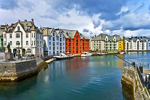
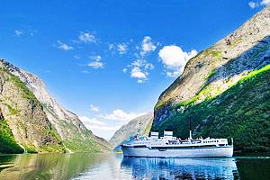
Another important city is Bergen, picturesquely located on Byfjord and backed by rolling hills. Colorful buildings line the harbor, where visitors will also find the Bergen Aquarium, the Hanseatic Museum, and the old wharf area of the city known as Bryggen, which is today a UNESCO World Heritage Site. For a beautiful view over the city and surroundings take the Floybanen Funicular up Mount Floyen.
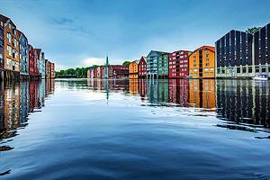
For visitors who come during the summer and want to experience the midnight sun, with 24 hour daylight days from Mid-May to Mid-July, two good options are Trondheim and Tromsø. At a latitude of 63°25' north, Trondheim is located on a peninsula in an inlet of Trondheimfjord. Surrounding hills and waterfront buildings make this yet another stunning city. It is home to the 11th C Trondheim Cathedral, one of the principal attractions. Many other the city's highlights are situated around Market Square where visitors will find interesting old buildings from a range of periods.
At latitude 69°39' north, Tromsø is built on an island linked to the mainland by a bridge. Old wooden houses from the late 18th C add to the charm. The main sights are the wooden Tromsø Cathedral and the Tromsø Museum. While most visitors come during the summer months, in winter these cities experience a corresponding lack of sunshine. During these months, primarily December and January, the northern lights are a unique spectacle. There is an annual Northern Lights Festival in January, and a Northern Lights Planetarium in Tromsø.