Mexico Travel Guide
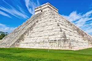
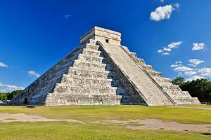
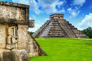
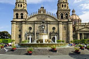
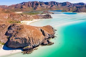
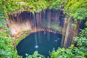
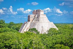
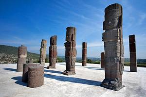
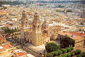
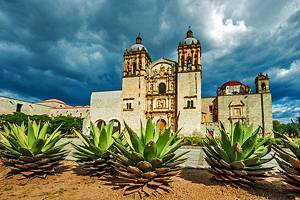
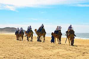
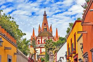
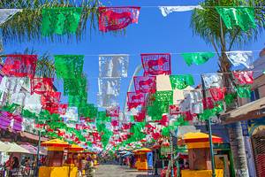
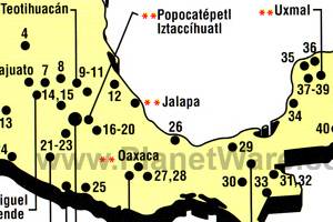
Mexico has long been a favorite destination for tourists from Canada and the United States, but it is also becoming increasingly popular with tourists from Europe, as more and more of them are prepared to put up with the long flight to get to know a country that besides sunshine, scenery, sandy beaches and clear blue seas also has a cultural heritage that is astonishingly varied and often of a breathtaking grandeur. UNESCO has in fact designated the following as world cultural heritage sites in Mexico: Mexico City's historic centre and Xochimilco, the towns of Guanajuato, Puebla, Oaxaca, Morelia and Zacatecas, the historical monuments at Querétaro, the Hospicio Cabañas with the Orozco wall-paintings in Guadalajara, the archaeological sites of Teotihuacán, Monte Albán, Chichén Itzá and Palenque, El Tajin and Uxmal, the monasteries on the slopes of Popocatépetl, the Sian-ka'an nature reserve, the Sierra Francisco (rock-paintings) and parts of the Bahia Sebastian Vizcaino (grey whales).
Tourists travelling around Mexico will undoubtedly be left with a host of striking impressions and insights into a different world.
Read More
Although Mexicans are generally hospitable, there is none of the urgency or promptness that Europeans are used to. Here the tourist will experience an encounter with a distant culture, rich in tradition, but will also find people whose attitudes and ways of life are quite a culture shock as well.
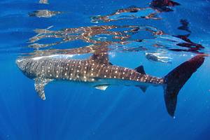
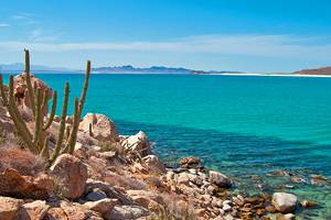
Mexico's flora is rich and varied, and many of Europe's familiar food and plant crops, such as maize, tomatoes, and tobacco, hail from this part of the New World. Mexico's fauna is equally rich and varied. Since the Pliocene age this has been the meeting place of creatures from north and south America. Wolf, coyote, black bear, and beaver have made their way here from the north to find new habitats on the high plateaux. The lowlands attracted jaguar, puma, monkeys and other south American species. In Mexico can be found ocelot, lynx, badger, otter, bandicoot, bighorn sheep, skunk, racoon, squirrel, tapir and anteater, various kinds of wild pig, deer and rodents. A large assortment of reptiles and birds can also be found throughout the country.