Indonesia Travel Guide
Indonesia (the "Indian island world"), the third largest state in Asia (after China and India), occupies the main part of the Malay Archipelago, between the Indian Ocean and the Pacific, and has also annexed the western half of the island of New Guinea.
The islands of Indonesia, numbering over 13,670 in all, only some 350 of them with an area of more than 100sq. km (39 sq. mi.) and less than half of them inhabited, lie on both sides of the Equator between latitude 6°8' north and 11°159 south and between longitude 94°159 and 141°59 east.
Read More
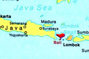
The largest islands in the Indonesian archipelago are the Greater Sunda Islands of Sumatra, Java, Kalimantan (Borneo; most of it belonging to Indonesia) and Sulawesi (Celebes), the Lesser Sunda Islands of Bali, Lombok, Sumbawa, Sumba, Flores, Timor, etc., and the Moluccas (the Maluku group, formerly known as the Spice Islands).
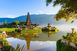
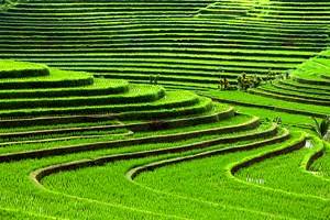
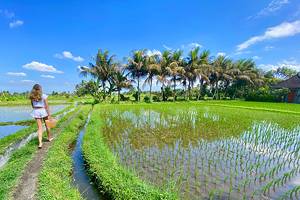
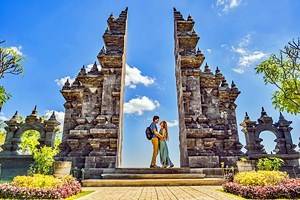
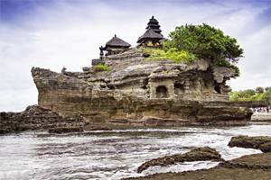
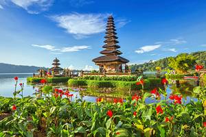
Bali, the most westerly of the Lesser Sunda Islands, is probably the best known island in the Indonesian Archipelago as far as tourists are concerned. Its unique character has fascinated Bali visitors since time immemorial. A luxuriant tropical vegetation, artistically arranged rice terraces, numerous shrines, rich arts and crafts, colourful markets and the famous temple dances exert a magical attraction throughout the year on holiday makers from all over the world. The natives of the island do not call it Bali: to them it is Nusa Dua, the Great Island.