

California's Premier Trail In The Sierra Nevadas Is An Epic Summer Off-Roading Destination
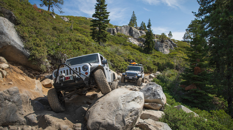
High in the Sierra Nevadas of California, there is a historic, 22-mile pathway full of boulders, mud holes, and steep inclines. It's a route that most drivers would avoid on their way to the many breathtaking towns along the Sierra Nevada Mountains. But for those who are looking for off-road adventures, the Rubicon Trail in California calls to them every summer.
The Rubicon Trail is an unmaintained county road split between California's Placer and El Dorado counties. It winds from Georgetown to Lake Tahoe, a popular tourist destination that happens to be one of the deepest lakes in the United States. It's a bucket-list attraction for all-terrain vehicle owners and enthusiasts. Even those who don't own a four-wheel-drive vehicle are able to experience the historic trail through vehicle rental and excursion companies in the area.
The Rubicon Trail is not a fast-and-furious experience. In fact, most adventurers spend two to three days exploring the terrain, according to 4x4 Review. That's because the pathway is anything but smooth driving. The most challenging part of the Rubicon Trail is a 12-mile section that "winds through the trees and rugged granite common to the area," according to El Dorado County. And it's not just the obstacles on the route that attract off-road adventurers. With elevations between 5,400 and 7,000 feet, drivers are treated to incredible scenery throughout their journey.
The Rubicon Trail gives off-roaders unfiltered access to obstacles and nature
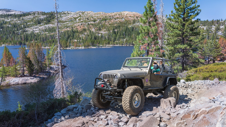
For any big outdoor adventure, preparedness is key, and the Rubicon Trail is no exception. According to the Rubicon Trail Foundation, having downloaded maps readily accessible will help drivers navigate the one-time stagecoach and wagon trail. The maps will also direct them to can't-miss sites along the way.
The first challenge to off-roaders is "The Gatekeeper." This area filled with boulders is just a small sampling of more challenging obstacles found along the Rubicon Trail. But the difficult beginning is worth it, because it leads to the "Granite Bowl," a large, smooth driving surface with sweeping views of the Sierra Nevada region. For those looking to spend a day or two on the trail, areas along Buck Island Lake and within Rubicon Springs offer spots for camping.
Completing the journey along the Rubicon Trail is rewarding, and with more than just bragging rights: Drivers and their passengers are rewarded with access to an observation point overlooking the trail. However, to reach it, one last challenge called "Cadillac Hill" awaits. Consisting of switchbacks and obstacles, this final section of the trail includes steep inclines, a winding section that passes by massive tree roots, and a mix of hairpin and S-shaped turns. One sight to see here is the actual remains of the hill's namesake Cadillac slowly being reclaimed by nature.
Planning a trip to the Rubicon Trail
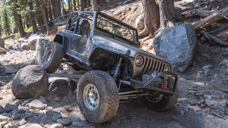
Obviously, the Rubicon Trail is a different kind of driving experience than most roads. Those looking for a more relaxed experience may want to consider Beartooth Highway, for example, considered one of America's most beautiful highways that connects directly to Yellowstone. But if the challenging landscape of the Rubicon Trail does call to you, make sure you're prepared.
The trail is open all year, but June to September is considered the best time of year to tackle the Rubicon Trail. The uneven surfaces and treacherous terrain can mean hours or days in the outdoors, which requires more than just the essentials, like food and water. Pack reliable communication equipment like a ham radio, since cellular phone service is limited. Vehicle repair equipment should also be stowed for the journey – fire extinguishers, spare tires, spare parts, tools, work gloves, and other maintenance equipment are essential for a successful trip.
Also, be sure to check your vehicle's fluids, including oil and gas, before embarking on your Rubicon Trail adventure. While the trail is monitored by the local sheriff's office, many travelers may be left to their own devices to overcome obstacles. The easiest part about the Rubicon Trail might be getting there. The closest international airports are in Reno (approximately 60 miles north) and California's unique capital city of Sacramento, about 100 miles to the west.