6 Favorite Hikes in Oregon Dunes National Recreation Area
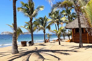
I've had the privilege to travel across the American West, and I'd never experienced anything quite like the Oregon Dunes National Recreation Area along the state's Central Coast. It was the first time I found myself surrounded by shifting dunes in every direction, my footsteps swept away by a steady coastal breeze, and fulfilling some sort of sandy wanderlust I never knew I had.
And the more I've visited the Oregon Dunes, the more I make sure to devote some time to exploring its ever-changing landscape whenever I'm in the neighborhood. Encompassing approximately 45 miles and 31,000 acres between Florence and North Bend, Oregon Dunes is the largest collection of temperate coastal dunes in the world. There is plenty to experience throughout the National Recreation Area.
The two most popular ways to explore Oregon Dunes are by foot and by off-road vehicle (OHV), also called All-Terrain Vehicles (ATVs). The Dunes are divided between different zones with mechanical travel and hiking-only areas, each providing unique adventures for whichever you prefer.
There's something about the quiet nature of hiking the dunes that transports me to another state of mind. Here are my favorite places to escape into Oregon Dunes National Recreation Area on foot (from north to south):
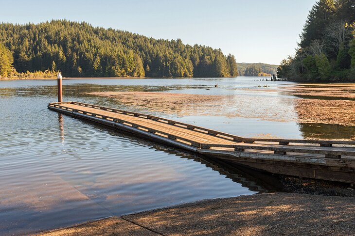
1. Siuslaw River South Jetty
Best Hiking Area for Catching the Sunset from Florence
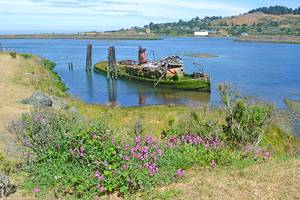
The South Jetty area of Oregon Dunes begins on the opposite banks of the Siuslaw River from Florence, one of the best small towns on the Oregon coast. South Jetty is split between motorized and non-motorized sections, with the designated hiking area on the northern end, directly south of the Jetty.
The driving route to the hiking-only section from Florence crosses the Siuslaw River Bridge south of town before veering west on Sand Dunes Road. This paved and gritty road extends north, where seven trailheads provide parking and beach access via steep, sandy trails. It's less than a quarter-mile from the trailhead to the beach, where you'll find an ample coastline. Pit toilets are also stationed at these trailheads.
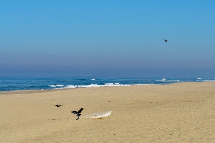
I'd recommend timing your trip to the South Jetty for sunset, especially if you're spending the night in Florence (also recommended). Feel free to skip the first few trailheads along Sand Dune Road, which can still get some motor noise from the OHV area directly south. Don't linger too long, though, as the dunes are day-use only, with no camping allowed.
2. Siltcoos Beach Access Road
Best Spot for Shorter Hiking Trails
This popular spot just south of Florence is a common staging ground for OHV and ATV travel, but it also has several short hiking trails that run through the varied environment. Two campgrounds in the area, Waxmyrtle and Lagoon Campgrounds, have trailheads for two easy hiking trails of the same name; the 2.2-mile out-and-back Waxmyrtle Trail and the mile-long Lagoon Loop Trail. The nearby Chief Tsiltcoos loop trail is just over four miles.
Expect to hear the distant rumble of motor engines, which are allowed just north of Siltcoos Beach Access Road. But it's barely noticeable, especially on the southern heading of Waxmyrtle Trail. This is also the best route to distance yourself from the moderate crowds that drive up and down the access road.
3. Oregon Dunes Overlook and Day Use Area
Most Accessible Part of the Oregon Dunes National Recreation Area
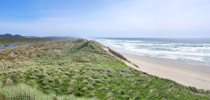
The designated Overlook and Day Use Area of Oregon Dunes is eleven miles north of Reedsport and the Oregon Dunes Visitors Information Center. This central region of the National Recreation Area is far from the sound of any motors, with only the ocean adding to the soundtrack if you hike far enough through the dunes.
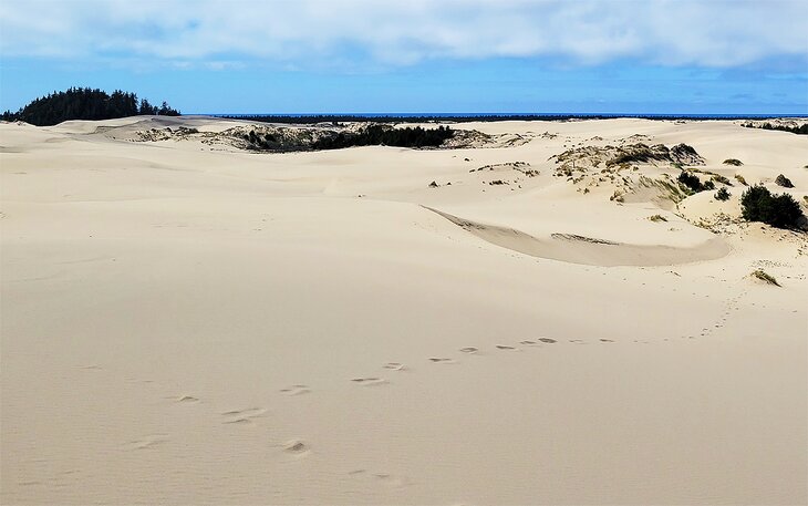
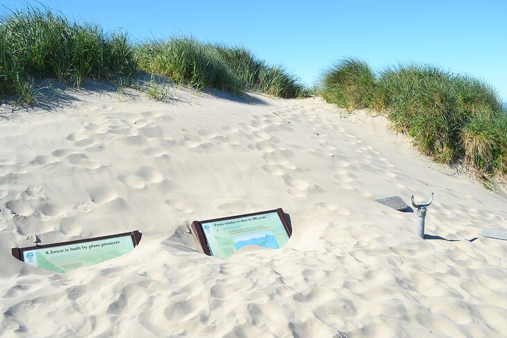
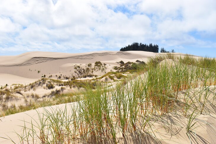
The Oregon Dunes Loop Trail adds to its popularity as a hiking destination. The first part of the trail is a paved and universally accessible half-mile path leading from the parking lot to a picnic area and several boardwalk viewing platforms. The dynamic environment is on full display from these vantage points, with a gentle fog often drifting across the beachgrass in the morning.
The Oregon Dunes Loop continues from the boardwalk viewing platforms, navigating through the dunes and losing its wheelchair accessibility. It's approximately a two-mile round-trip to the ocean, making a loop back following buried signposts.
4. Tahkenitch National Recreation Trail
Best Spot for Remote Dune Hiking
Tahkenitch is right off the 101 just south of Oregon Dunes Day Use Area. It offers more extensive trails that also traverse the marshy wetlands bounded by the massive dunes. Though it is a popular area, the nearby Tehkenitch Landing and boating site for Tehkenitch Lake divert most of the traffic.
But head to the Tahkenitch Dunes-Threemile Lake North Trailhead to start hiking into the quiet environment. I'd recommend starting on the Tahkenitch Dune National Recreation Trail from there, an approximately two-mile trail leading through the forest onto the dunes.
Visitors looking for a longer hike combine the National Recreation Trail with Tahkenitch Creek Trail and Threemile Lake North Trail for a 6.5-mile loop that ends back at the trailhead. It's not all straightforward hiking along the route while navigating dunes and lakeshores; expect it to take longer than your average 6.5-mile hike.
5. John Dellenback Dunes Trail
My Favorite Oregon Dunes Hiking Trail
The John Dellenback Dunes Trail is a southern hiking destination in the National Recreation Area, with a trailhead approximately seven miles south of Winchester Bay. It's the choose-your-own-adventure nature of the trail that makes it my favorite.
It's either a short interpretive loop or a long hike to the beach on the John Dellenback Trail. And both are accomplished without a clear trail to follow, thanks to the shifting nature of the sand. Instead, guideposts are buried along the route, requiring a little game of eye-spy with each segment completed. It's approximately a mile to explore the interpretive loop and closer to five miles to make it to the beach and back.
The trail passes through a coniferous forest that quickly transforms into a shadeless dune landscape. Don't underestimate the slow going that a sandy path provides, and if you ever feel lost, simply head to the top of the highest dune to get your bearings.
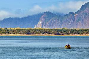
6. Horsfall Beach
Best for Exploring Dunes by Yourself
Horsfall Beach occupies the southernmost boundary of the National Recreation Area, abutting Coos River, about two miles from North Bend. It's a popular OHV-staging area with everything north of Horsfall Beach Road open to motorized vehicles.
Vehicles are restricted south of Horsfall Beach Road, offering a bit of a hidden gem and uncrowded dunes and beach for exploring. Planked walkways lead into the dunes from the Horsfall Beach Campground, and similarly, the Bluebill Campground connects to the Bluebill Trail, offering a 1.2-mile planked path around Bluebill Lake.
Know Before You Hike: Snowy Plover Restrictions
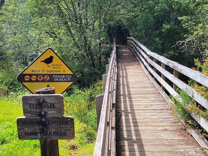
Snowy Plovers are a threatened species that rely on the Oregon Coast for habitat and nesting. These small shorebirds receive special protections between March 15th and September 15th, limiting visitor access to beachfront areas. Restricted areas are well marked throughout the National Recreation Area, with other interpretive information describing the protections put in place.