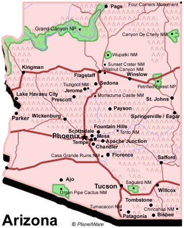
Arizona Travel Guide
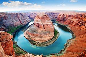
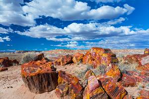
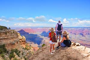
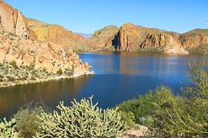
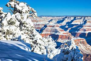
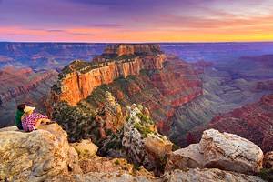
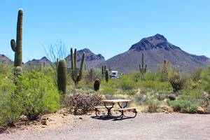
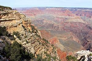
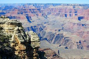
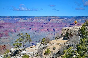
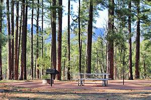
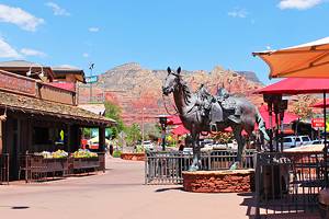
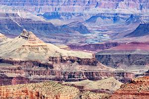
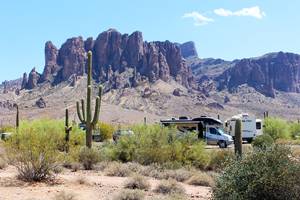
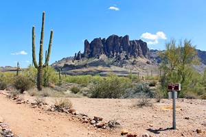
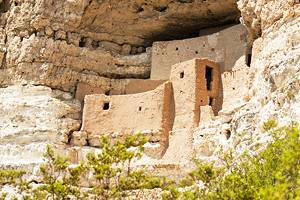
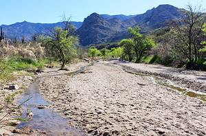
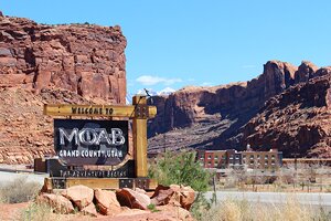
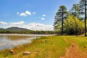
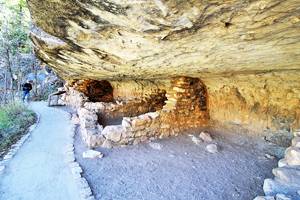
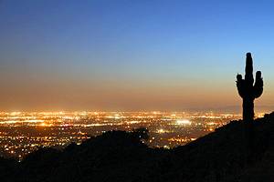
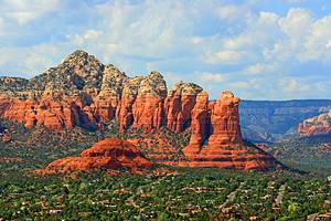
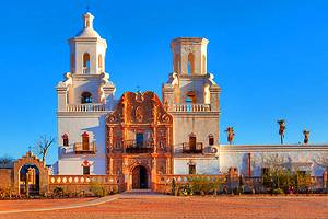
Tourism in Arizona is well developed due to the climate, scenery such as the Grand Canyon and the sites of old Indian cultures. Arizona has much to see and do from the Hoover Dam to the Navajo Indian Reservation. The deserts, rivers, mountains and canyons of Arizona are becoming popular with bird enthusiasts as well as cyclists, hikers, and climbers.
Attractions in Popular Destinations


More Destinations and Attractions