One Of Rick Steves' Favorite European Getaways Is A Riverside Gem With Fewer Tourists
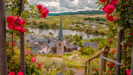
One region in Germany offers stunning scenery, delicious wine, and cool castles all along a famous river. No wonder it's a favorite of Rick Steves!
Read More
One region in Germany offers stunning scenery, delicious wine, and cool castles all along a famous river. No wonder it's a favorite of Rick Steves!
Read More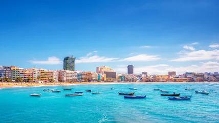
This sun-soaked archipelago welcomed 18.4 million visitors in 2025, but travelers are now being discouraged from visiting due to the impact of over-tourism.
Read More
Television host, author, and guidebook scribbler Rick Steves is a big fan of these European establishments, which he says are his go-to for saving money.
Read More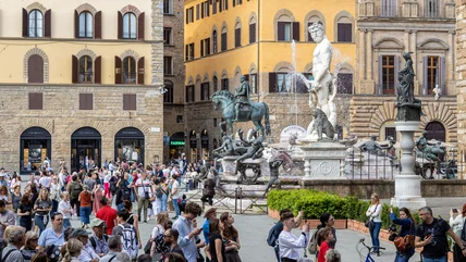
A troubling trend is on the rise in Europe and some locals are expressing frustration, saying that social media-fueled travel is partly to blame.
Read More
Set on the grounds of Switzerland's oldest chocolate factory, the new theme park will invite visitors to "discover the world of chocolate" in a whole new way.
Read More
Some airlines are set to make changes and cutbacks to their schedules, and European flights could be affected — here's what passengers need to know.
Read More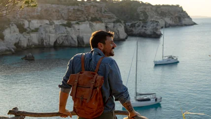
If you're traveling to Europe on a budget, consider spending your vacation time in these relatively affordable destinations recommended by travel experts.
Read More
From Europe to Africa to Asia, there are plenty of islands that'll give you the tropical vacation of your dreams without the price tag of Caribbean getaway.
Read More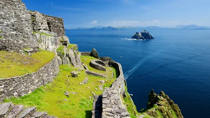
This new national park in Ireland is a unique, non-contiguous collection of landmarks, from historical islands to stunning coastal spots and hikeable mountains.
Read More
Europe offers a variety of tourist-friendly destinations, but in 2026, the most popular spots may start charging international visitors more than in past years.
Read More
Europe is filled with top-notch destinations, but it also has some tourist traps. Here's where to skip according to Rick Steves and alternatives to try.
Read More
If this European country with an iconic capital city is on your travel bucket list, be aware: Many visitors and locals say there are too many tourists.
Read More
According to travel expert Rick Steves, these "zones" prevent you from experiencing a destination's authentic culture and connecting with its locals.
Read More
From Europe to North Africa, these hidden gems along the Mediterranean Sea offer quintessential coastal escapes for surprisingly affordable prices.
Read More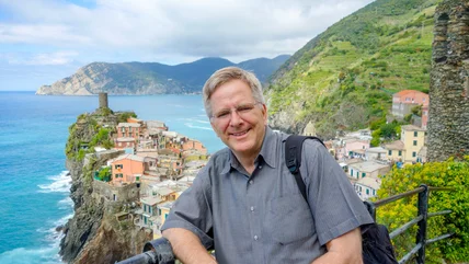
Europe travel expert Rick Steves has a simple, yet perspective-shifting, tip to avoid wasting precious time (and money) during your European getaway.
Read More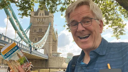
In the most popular European destinations, many attractions require a long line to enter. However, Rick Steves has a simple workaround to save you time.
Read More
This country may beckon visitors with its beaches, but the U.S. government has issued a new warning cautioning travelers to rethink travel there.
Read More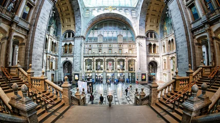
Traveling by rail is a great way to get around Europe, and some of its train stations are worth a visit in and of themselves, with fine dining and art on offer.
Read More
Stick to your European travel budget by skipping one common type of accommodation and looking for other specific qualities suggested by Rick Steves.
Read More
The world's best hot springs offer the perfect combination of natural beauty, rich history, and pure relaxation for the ultimate restorative getaway.
Read More
Though this hotel dining option in Europe can be convenient and relatively budget-friendly, Rick Steves suggests avoiding it to get the most out of your trip.
Read More
Avoiding tourist traps in Europe is easier said than done. Not only can touristy restaurants break the bank, but the food at them isn't as authentic.
Read More
Whether you're in Italy or Poland, this is where travel expert Rick Steves suggests eating in Europe for budget-friendly and authentic meals.
Read More
Rowdy tourists have pushed one of Europe's most popular destinations to its limit, and a major new 2026 rule is changing how travelers enjoy their nights out.
Read More
Forget flying, the world's most scenic train rides offer jaw-dropping views of mountains, coastlines, jungles, and deserts from a comfortable seat.
Read More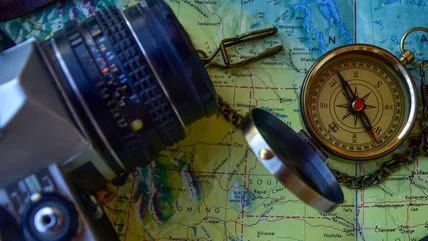
Traveling off the grid doesn't have to involve camping. There are other ways to take a break from tech -- and some of them are quite luxurious.
Read More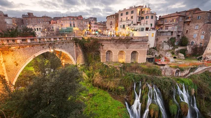
If the crowds and chaos of Rome are getting you down, Rick Steves suggests taking a trip to this nearby destination for a quieter, calmer experience.
Read More