
5 Budget-Friendly Island Getaways That Aren't In The Caribbean
From Europe to Africa to Asia, there are plenty of islands that'll give you the tropical vacation of your dreams without the price tag of Caribbean getaway.
Read More
From Europe to Africa to Asia, there are plenty of islands that'll give you the tropical vacation of your dreams without the price tag of Caribbean getaway.
Read More
From Europe to North Africa, these hidden gems along the Mediterranean Sea offer quintessential coastal escapes for surprisingly affordable prices.
Read More
Forget flying, the world's most scenic train rides offer jaw-dropping views of mountains, coastlines, jungles, and deserts from a comfortable seat.
Read More
Traveling off the grid doesn't have to involve camping. There are other ways to take a break from tech -- and some of them are quite luxurious.
Read More
The travel landscape in 2026 looks a little different, with travelers choosing trips and experiences that reflect shifting priorities and new expectations.
Read More
There are many places in the world to add to your bucket list, but these 13 deserve a spot at the top of the list. Get your camera ready for these scenic views.
Read More
For travelers who love to plan trips around books, these 10 destinations prove that literature and travel can come together to create unforgettable experiences.
Read More
Once built for luxury and prestige, these 11 abandoned hotels now sit frozen in time, marked by events like war, disaster, and sudden collapse.
Read More
Let's face it: most of us could use a break in 2026. If you need to unwind, a hectic itinerary might not be for you. Consider booking a wellness vacay, instead.
Read More
Humans have been all over the planet, but there are plenty of things that have yet to be discovered. And many discoveries remain unexplained.
Read More
Wellness travel in 2026 is evolving beyond regular spa experiences, driven by new concepts around health, connection, nature, and intentional living.
Read More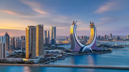
Planning a standout trip in 2026? These 15 expert-approved properties from around the globe deliver unforgettable stays where service and style come first.
Read More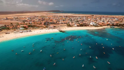
According to one study, this underrated island destination is perfect for a winter getaway, with warm temperatures, plenty of sunshine, and rich culture.
Read More
While pre-arrival requirements will be implemented in some countries in 2026, U.S. passport holders can still visit nearly 180 places without a visa.
Read More
These affordable destinations are proof that budget travel doesn’t mean sacrificing safety, comfort, or once-in-a-lifetime experiences in 2026.
Read More
While this country is full of history and sites that are worth seeing up close, it has experienced a lot of political unrest, so you should exercise caution.
Read More
A tropical vacation is a great way to get away from the daily grind, but there are so many locations to choose from! Our guide will help you narrow it down.
Read More
From ancient civilizations to vast coral reefs that can be seen from outer space, this is your definitive guide to the world's must-see destinations.
Read More
From the pyramids to the Abu Simbel temples, there's so much to explore in Egypt. Use this map to plan your itinerary and get to know the country's sites.
Read More
Uncover some of Egypt's most thrilling adventures that go beyond the pyramids, from thrilling diving sites to massive dunes perfect for sand boarding.
Read More
From ancient canyons to massive waterfalls and formations visible from space, these breathtaking natural wonders showcase our planet's raw power.
Read More